Area information
How to get there from Rolla
Brochure and map
Directions: Go South 3 miles from Fredericktown on Hwy 67 to Hwy C, follow C West for 5 miles,
turn right onto Madison County Rd. 406, after 2.5 miles turn left onto unmarked FS 2124. Go 1 mile to trailhead.
The last half mile is rough, but we made it in a passenger car.
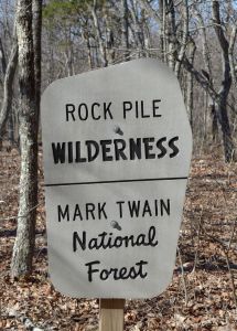
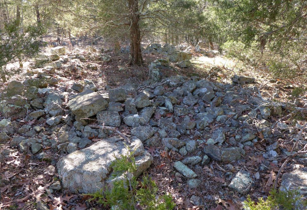
The wilderness and mountain are named after an ancient stone circle on top of the mountain.
Origin and purpose of the circle are unknown.
click on the pictures to see enlarged version