Area information
How to get there from Rolla
Park map
Walking Fern Trail
With 0.5 miles the shortest trail in the park, this hike starts at the entrance of Fisher Cave.
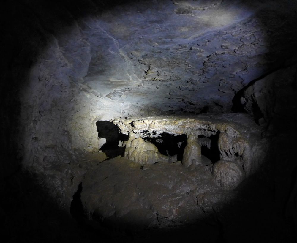
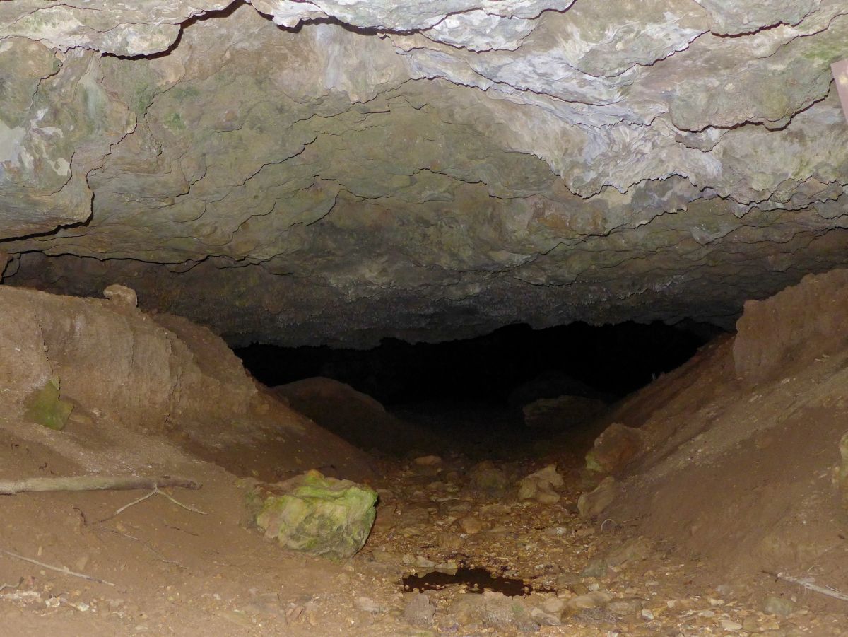
The most interesting feature is Indian Cave, with its large entrance and stone table in the back.
Natural Wonders Trail
This trail is perfect for families with young children. Only 1.25 miles in length, the trail offers a variety of natural features and habitats:
several caves, glades, a small stream. It starts right at the Visitor Center.
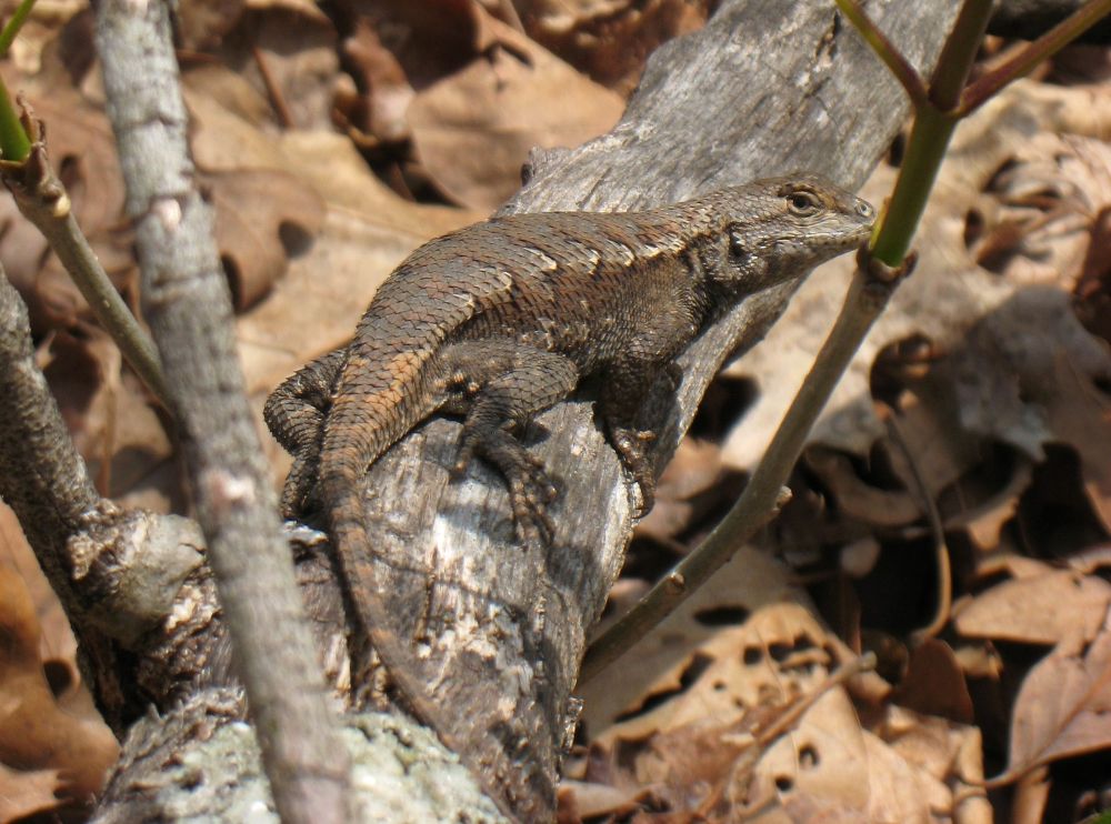
Please make sure to respect the signs asking you not to enter the caves, to protect bats from White Nose Syndrome,
a fatal disease that has killed millions of bats throughout the US.
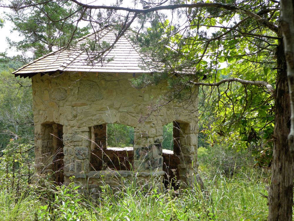
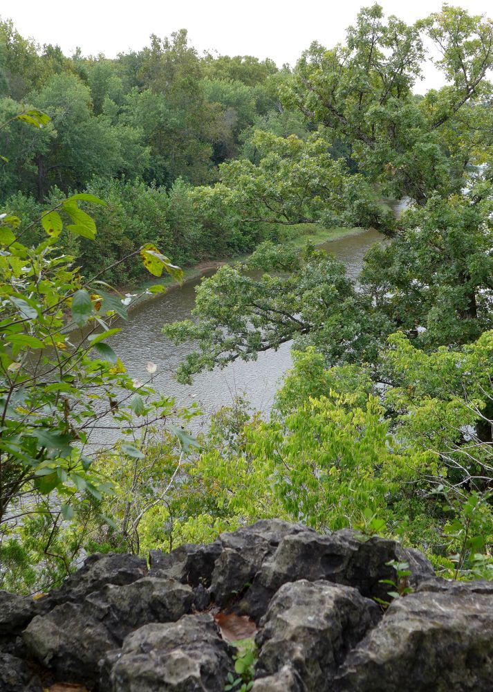
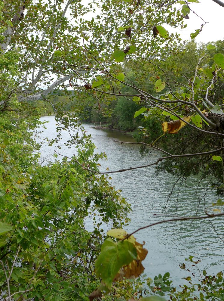
Bluff View Trail
This 1.5 mile loop begins at the lodge. Passing by two little pavillions, the trail leads along the bluffs
and offers views of the Meramec River.
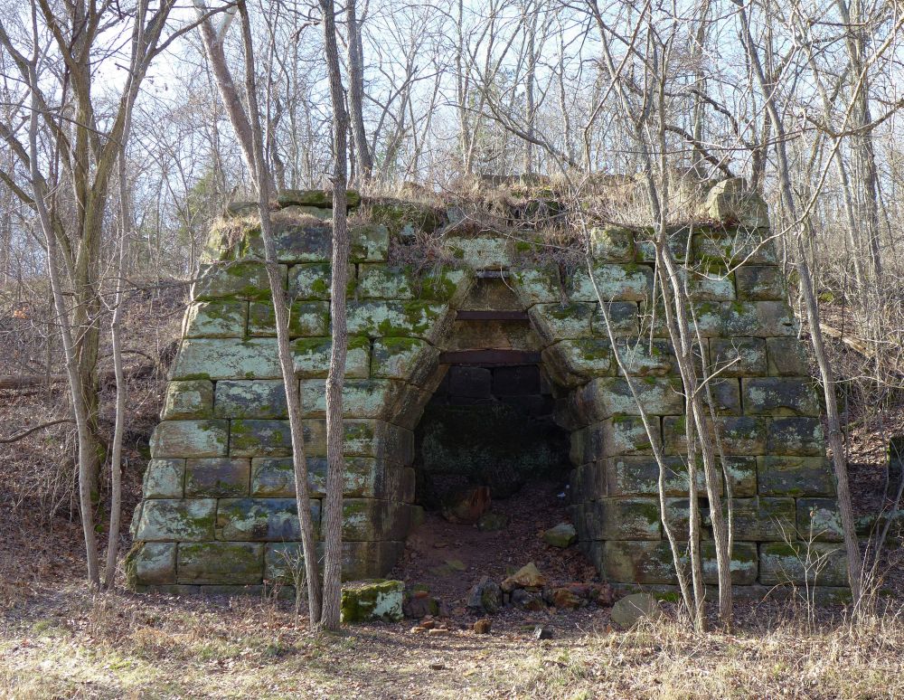
Hamilton Hollow to Green's Cave
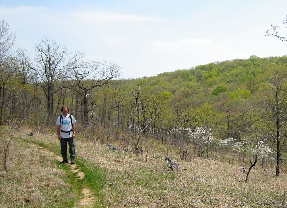
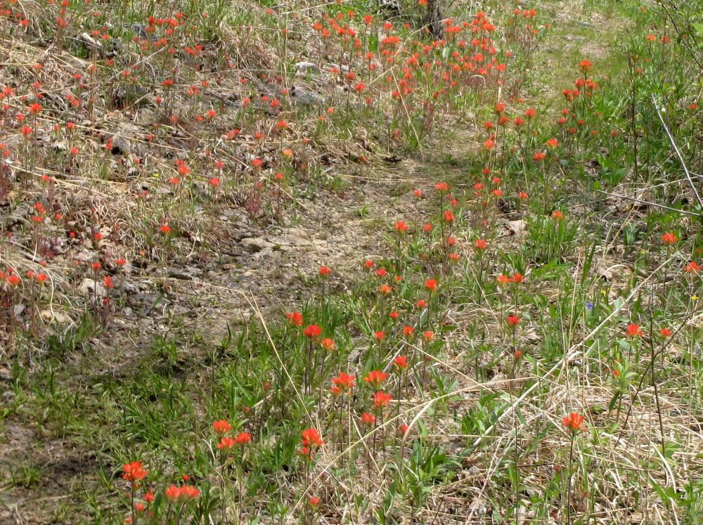
The Wilderness trail is fabulous in the spring when the dogwoods bloom.
1.9 miles one way to Meramec River, 2.4 miles one way to Green's Cave.
The hike follows Hamilton Creek to the confluence with the Meramec River
and can be extended to Green's Cave half a mile down river.
On the trail you encounter several springs, two caves, and the remnants of an old ironworks and a homestead.


A detailed description of the hike, with directions to the trailhead and more pictures can be found
here
We usually park where the trail crosses the 185 spur road the first time and hike the 6 mile Northern loop, using the connector shortcut.
That is the most scenic portion, with a cave (closed to protect bats from White Nose Syndrome), spring, small creek, glades,
and you can even get a glimpse of the Meramec River below.
Careful, the current (January 2015) park map has North pointing to the right!
click on the pictures to see enlarged version