Area information
How to get there from Rolla
Topo map
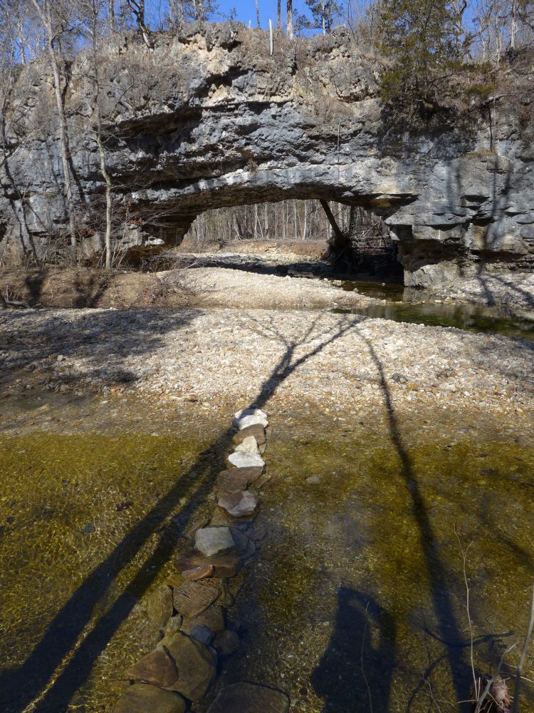
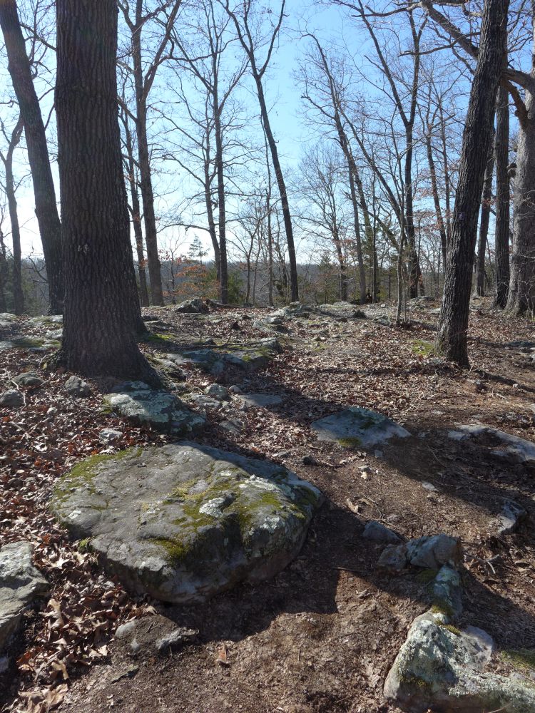
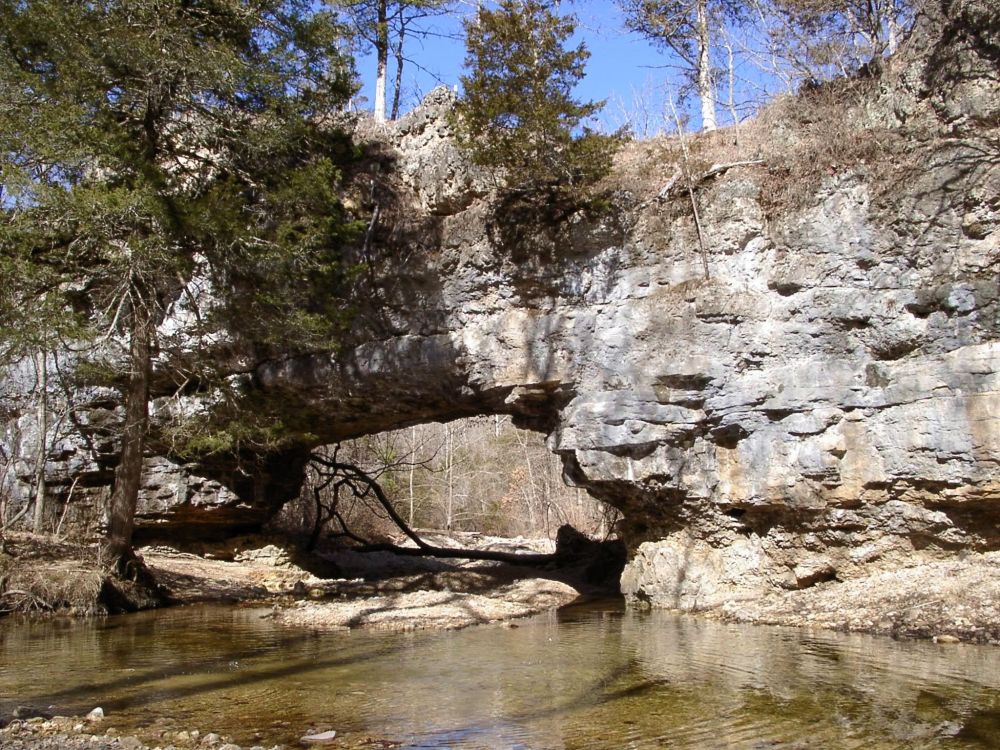
The 2.5 mile trail leads along the hill side from the parking lot to the natural bridge
where it crosses Clifty Creek. A spur path leads to the top of the bridge.
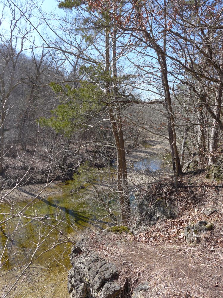
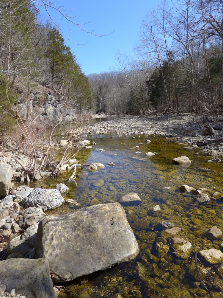
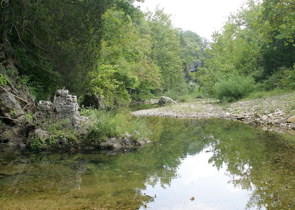
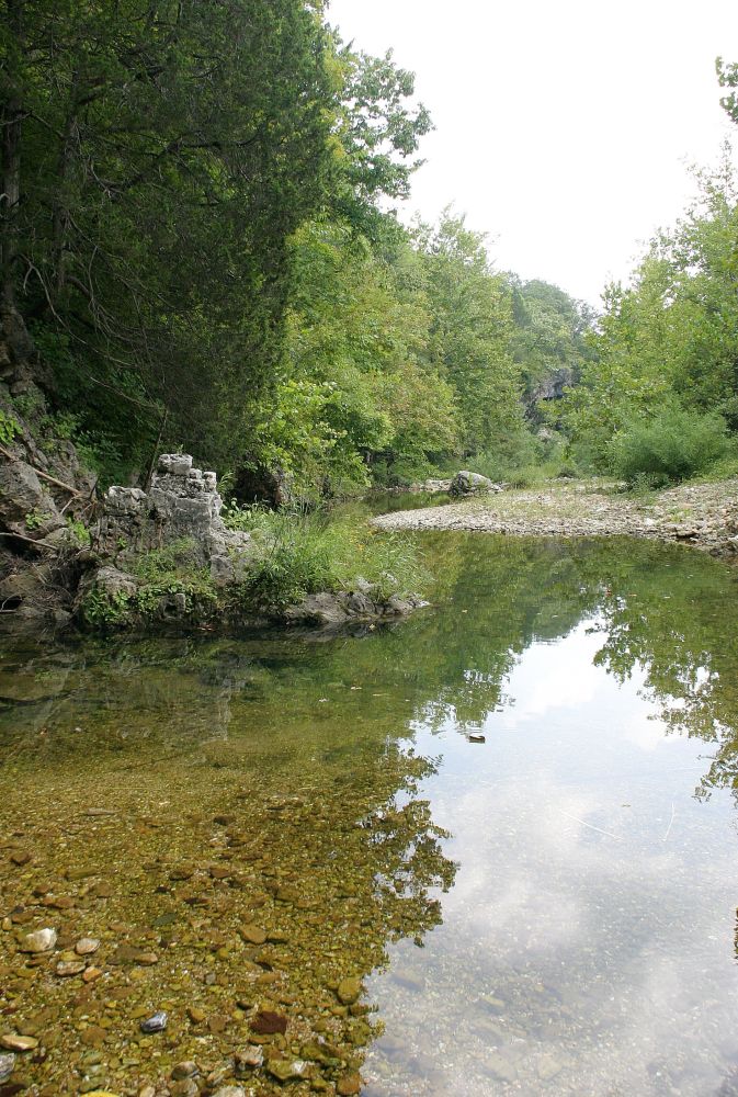
The trail loops back on the bluffs on the other side of the creek

until it crosses the creek again and returns to the parking lot.
click on the pictures to see enlarged version