Sam A. Baker State Park
How to get there from Rolla
Park map
Trail information
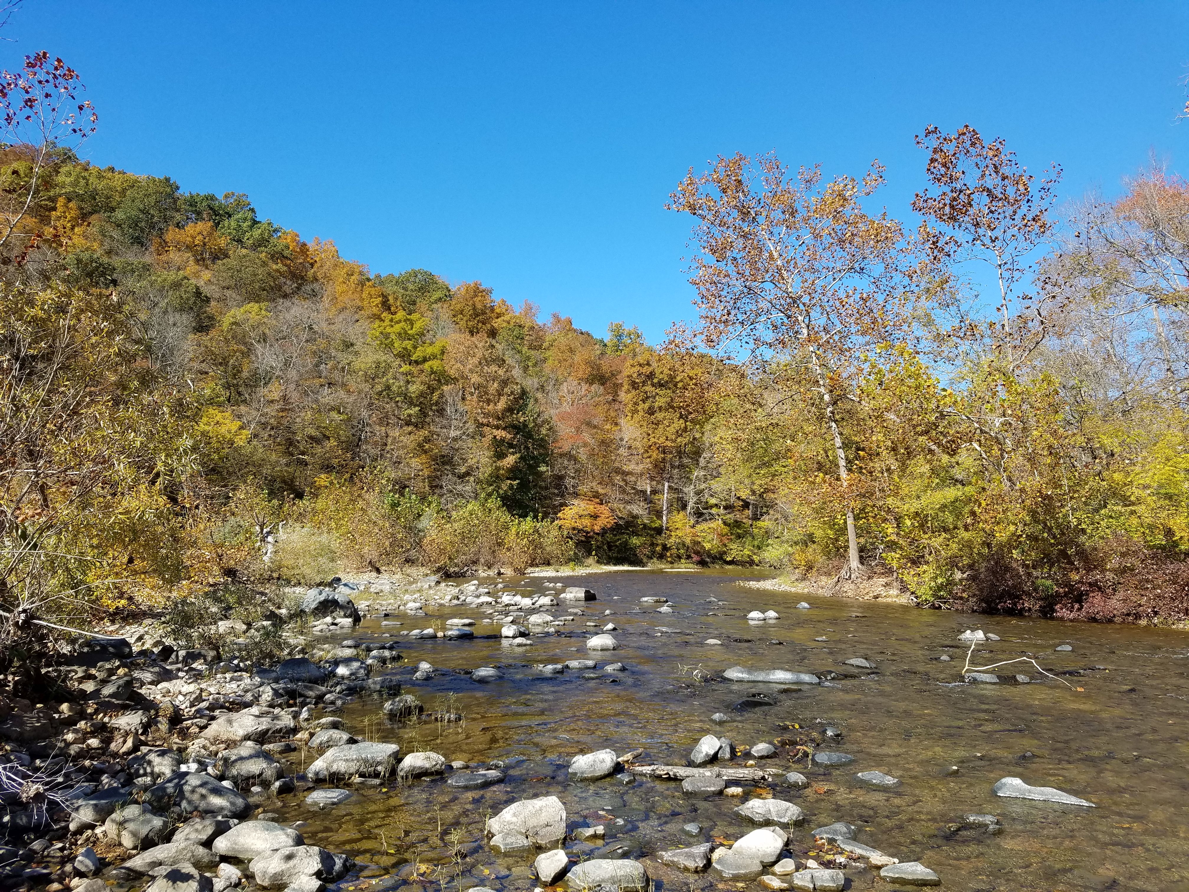
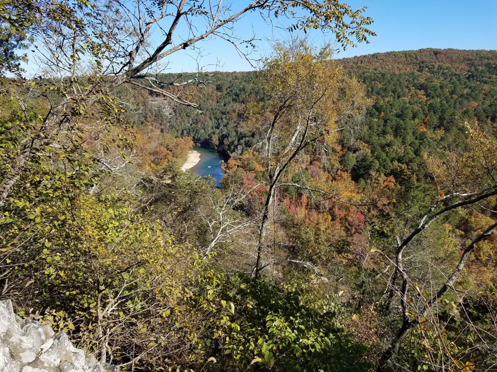
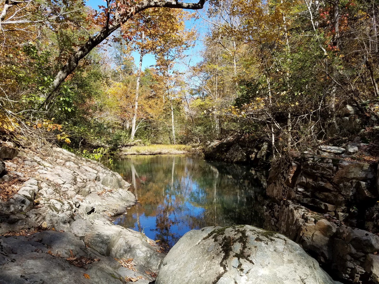
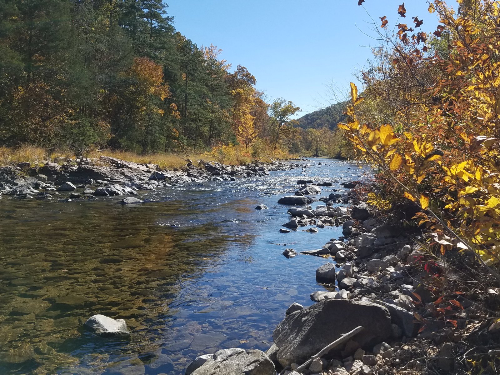
Sam A Baker State Park offers rugged scenery surrounding 1,313 ft high Mudlick Mountain which is towering over Big Creek and St. Francis River. Steep slopes and talus give the hikes an alpine feel. The views from the bluffs above the river are impressive. Sadly, the fire tower on the summit is closed to the public.
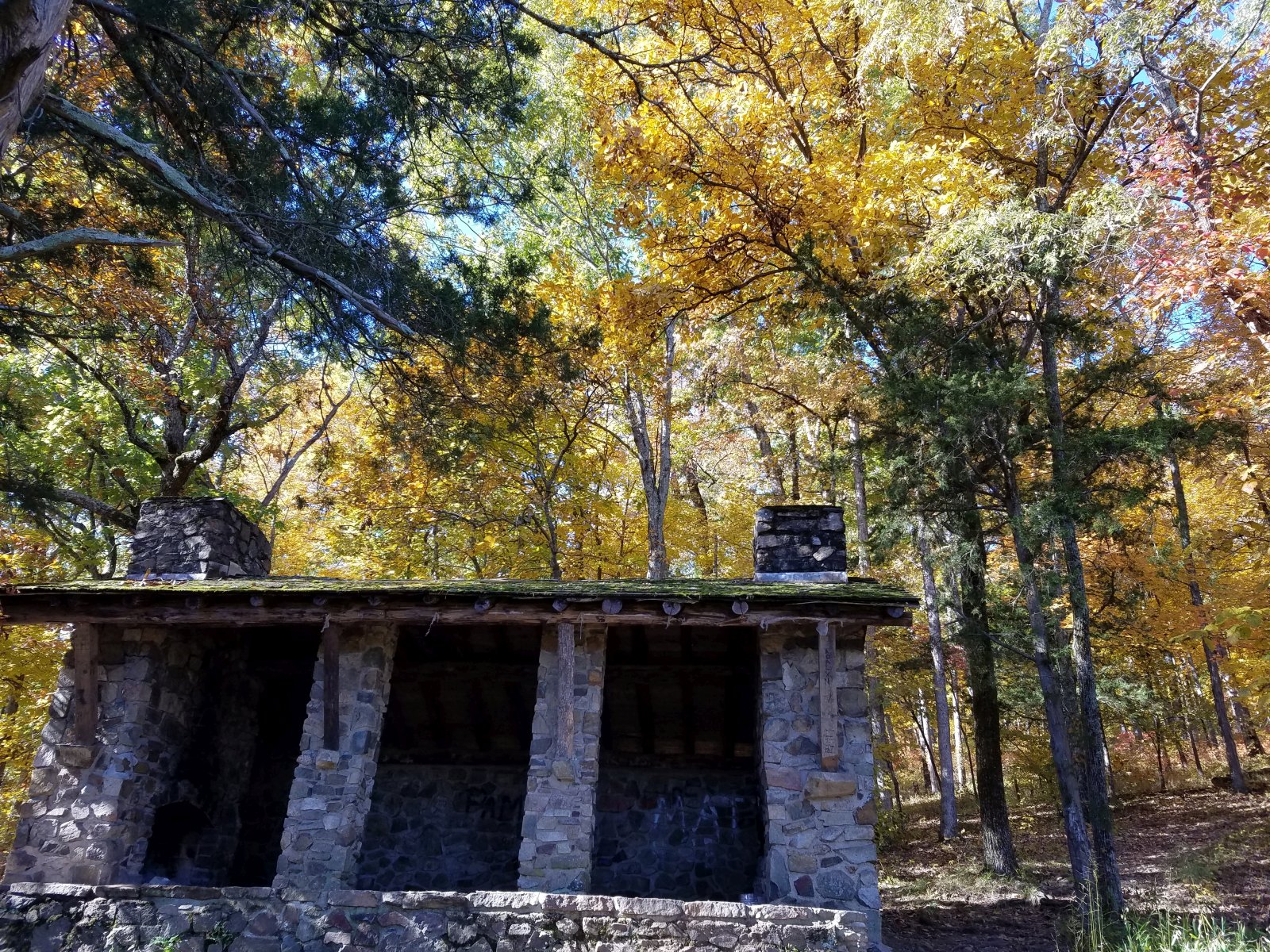
Shut-ins Trail: 1.25 mile one way to Shelter 1. Start at the parking lot across the street from the store. The trail leads along the base of Mudlick Mountain, past several small rocky canyons on the hill side, to a shut-in of Big Creek and then climbs 300 vertical feet to a hiking shelter on the bluff.
Retrace your steps, or use Mudlick Trail (blazed in orange and yellow) to extend the hike. Mudlick Trail extends for a total of 12 miles and has several segments, offering different possibilities for hikes. 5.5 miles of the trail are for hikers only and closed to equestrians. There area three stone shelters along the trail.
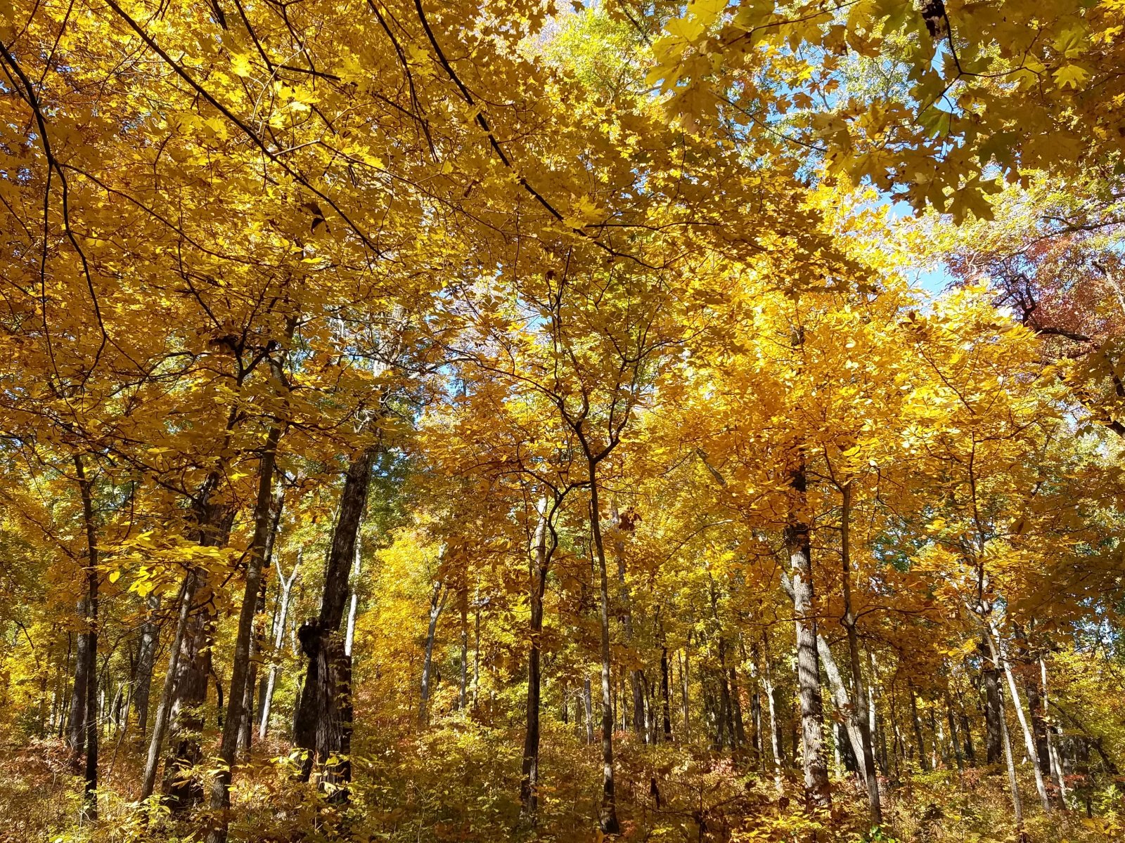
The Northern section of Mudlick Trail leads into Mudlick Hollow, where Mudlick Hollow Creek forms many little waterfalls and shut-ins.