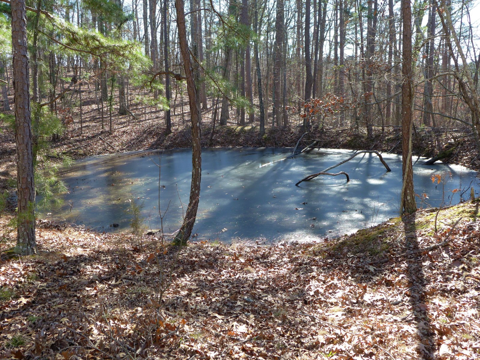
Rockpile Mountain
Area information
How to get there from Rolla
Brochure and map
How to get there from Rolla
Brochure and map
Directions: Go South 3 miles from Fredericktown on Hwy 67 to Hwy C, follow C West for 5 miles, turn right onto Madison County Rd. 406, after 2.5 miles turn left onto unmarked FS 2124. Go 1 mile to trailhead. The last half mile is rough, but we made it in a passenger car.
The wilderness and mountain are named after an ancient stone circle on top of the mountain. Origin and purpose of the circle are unknown.