Paddy Creek Wilderness
Area information
Brochure and map
How to get there from Rolla
Brochure and map
How to get there from Rolla
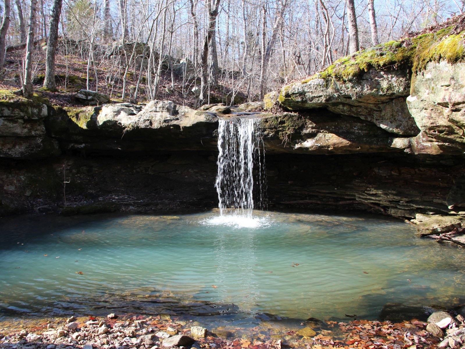
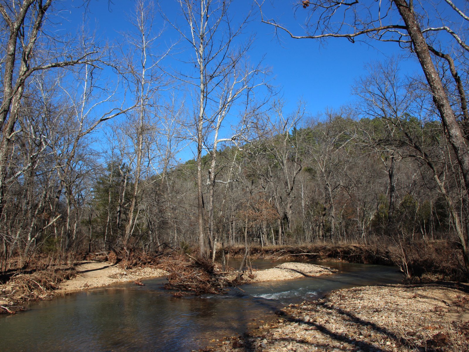
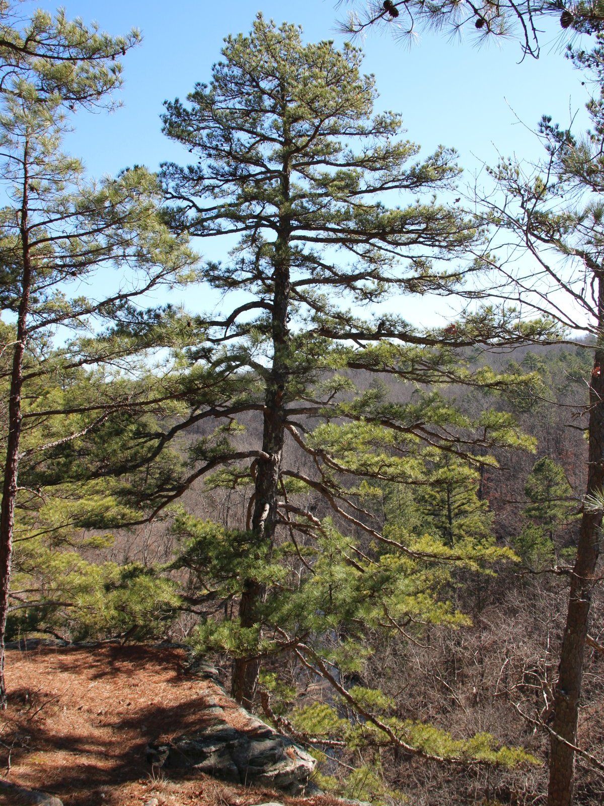
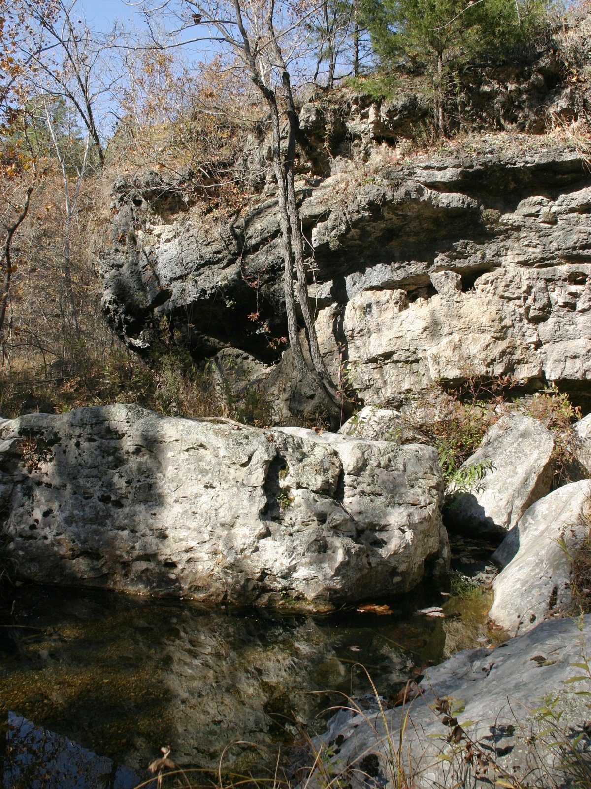
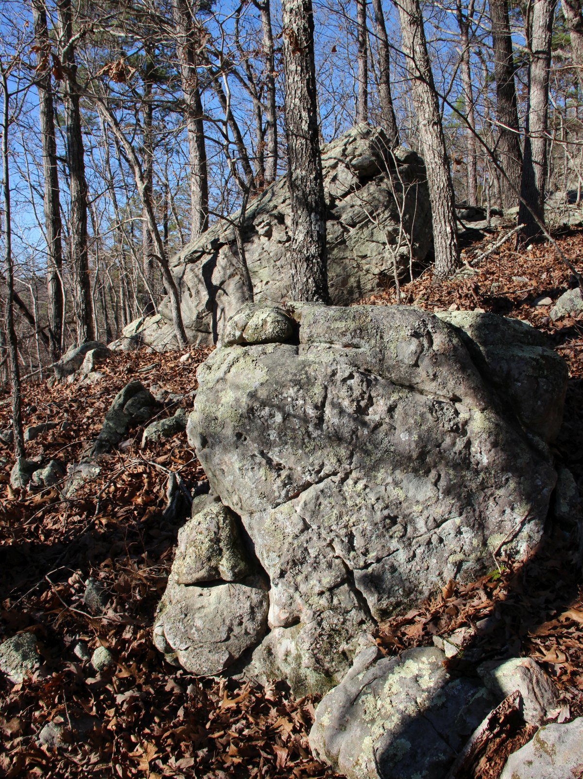
Paddy Creek Wilderness is a large area with different access points and lots of cross country hiking in addition
to the developed trails. We like to do the North loop or the South loop of the Big Piney trail; each is 8 or 9 miles long
and features bluffs, stream crossings, small waterfalls and gorgeous pine forests along the ridges.
The South Loop starts from Roby Lake; the North Loop can be started from Paddy Creek Campground or from the Horse Camp.
There are numerous options to shorten the loop by hiking cross country.
Paddy Creek is fairly remote. You should carry a map and compass, and possibly a GPS.