Mill Creek Recreation Area
Area information
How to get there from Rolla
Trail map
How to get there from Rolla
Trail map
There are several trailheads, and you can string together loops of different lengths.
Here is a nice 5 mile hike we like:
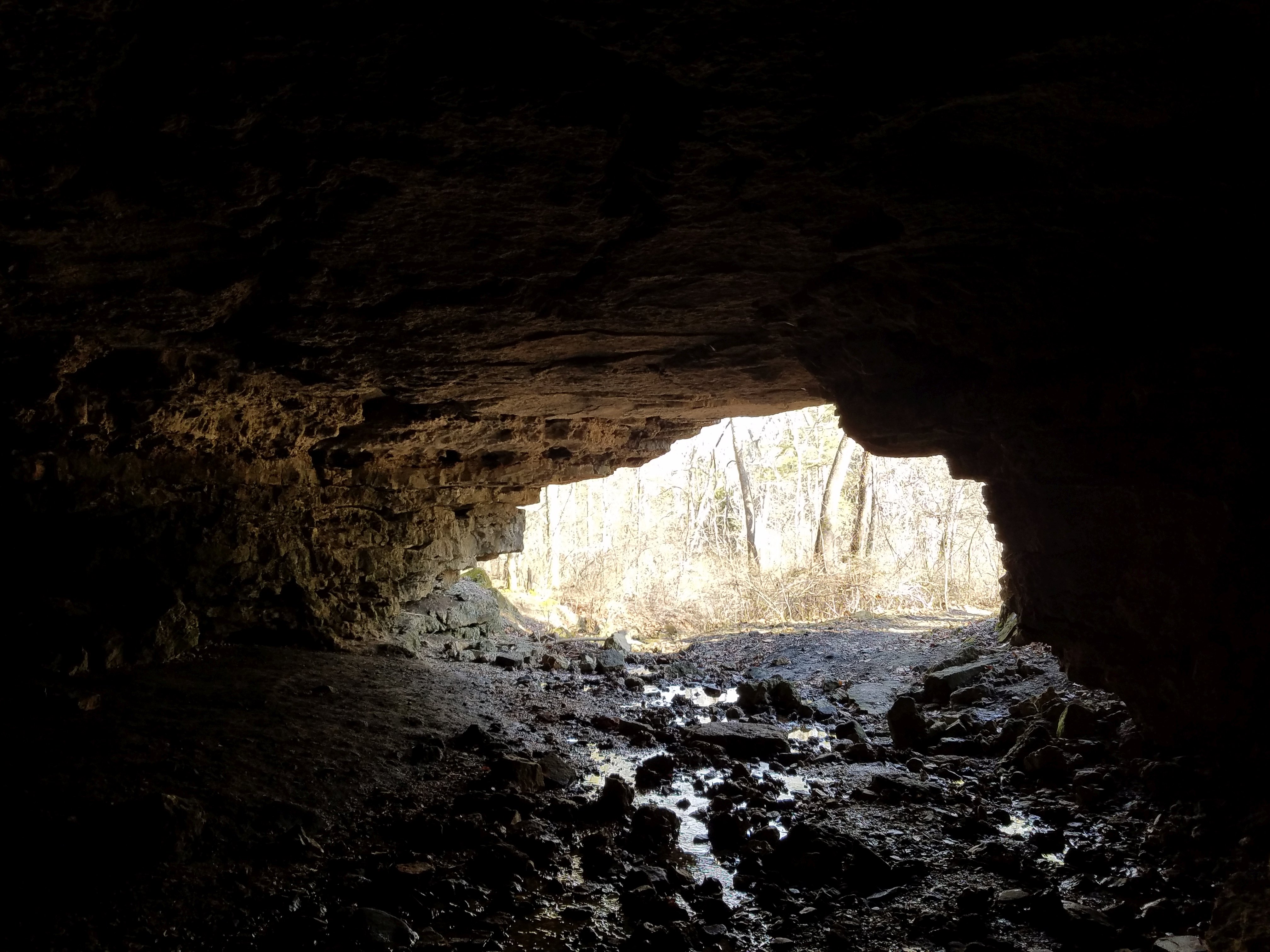
Start at the parking lot near the natural tunnel and hike approximately 1/4 mile to the tunnel.
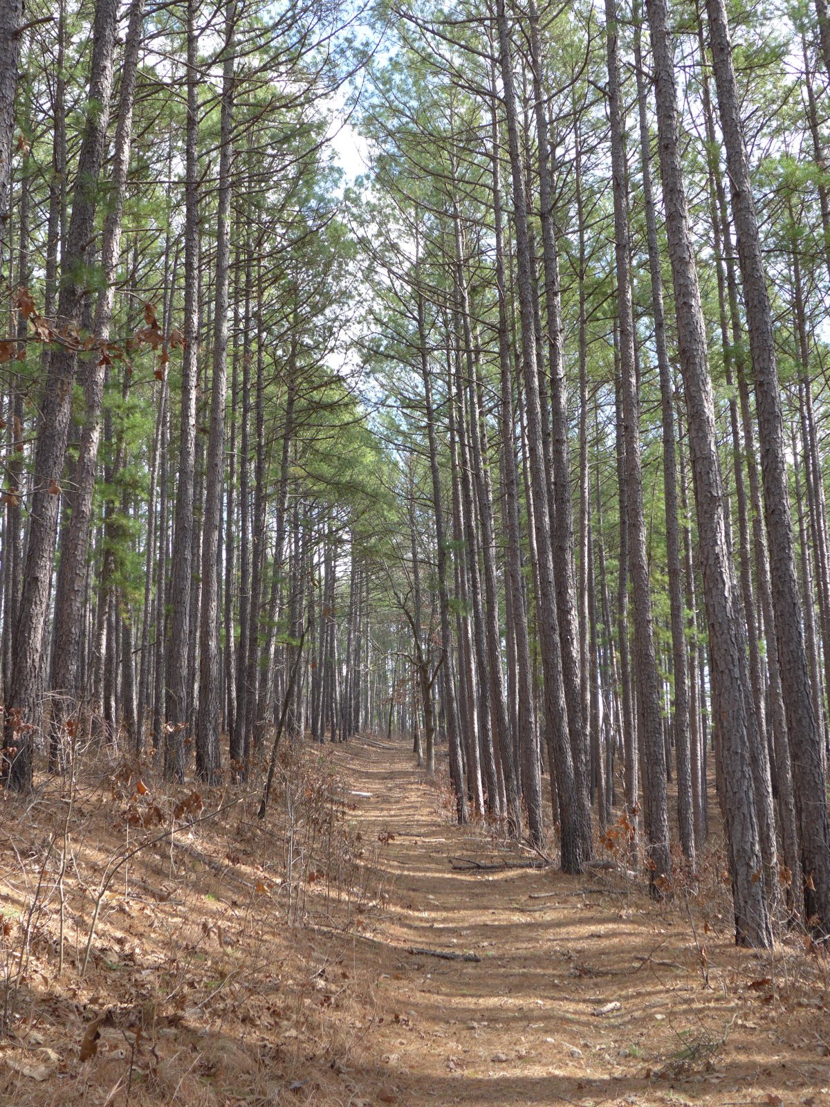
The trail has been rerouted to restore vegetation; it is blazed in orange and easy to find.
After exploring, follow Oak Leaf Trail up to the Ridge where it meets Acorn Trail. Follow Acorn trail to the left for a little bit and take the first trail on the right;
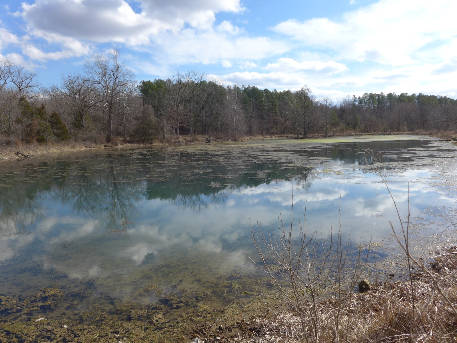
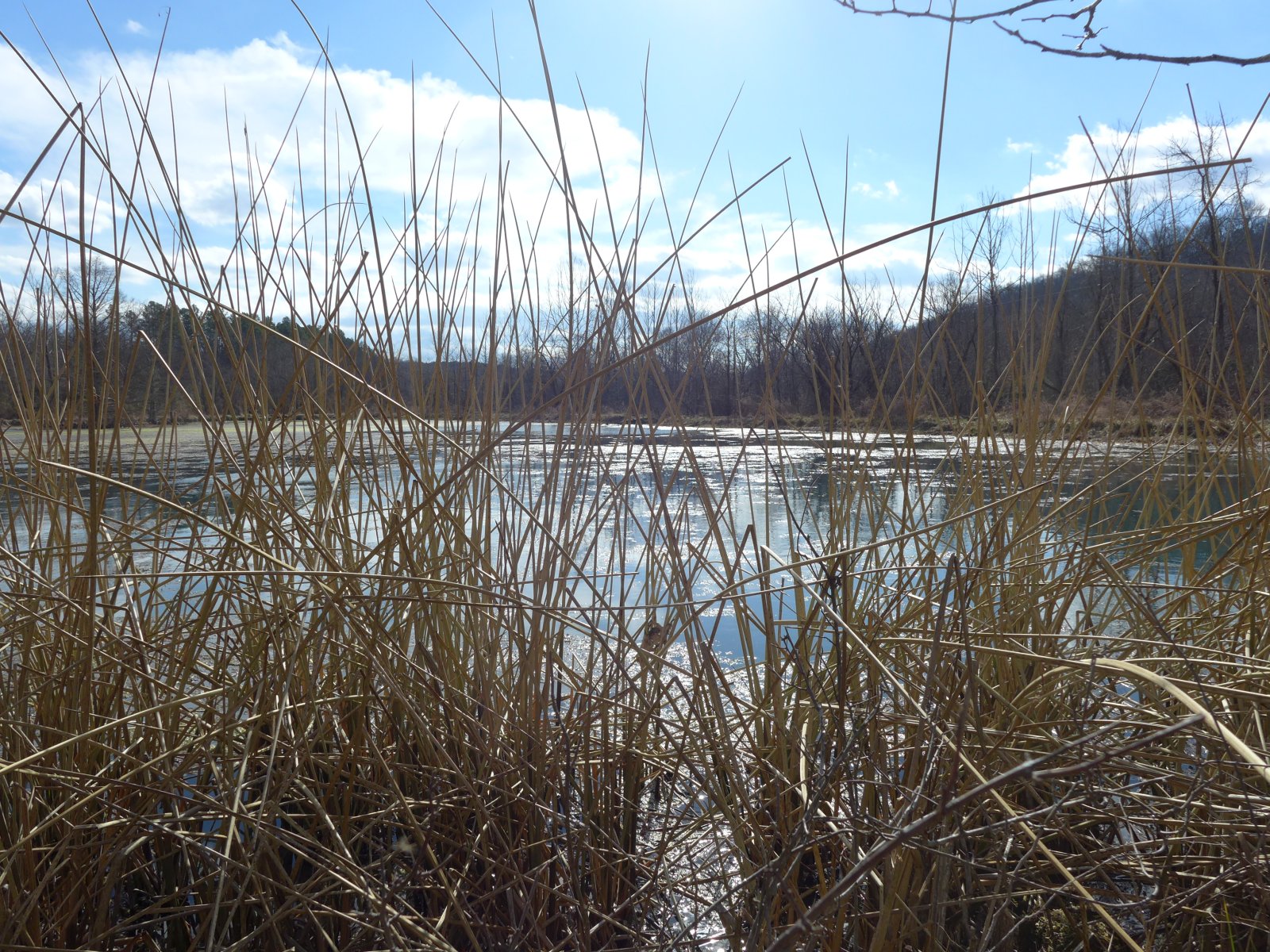
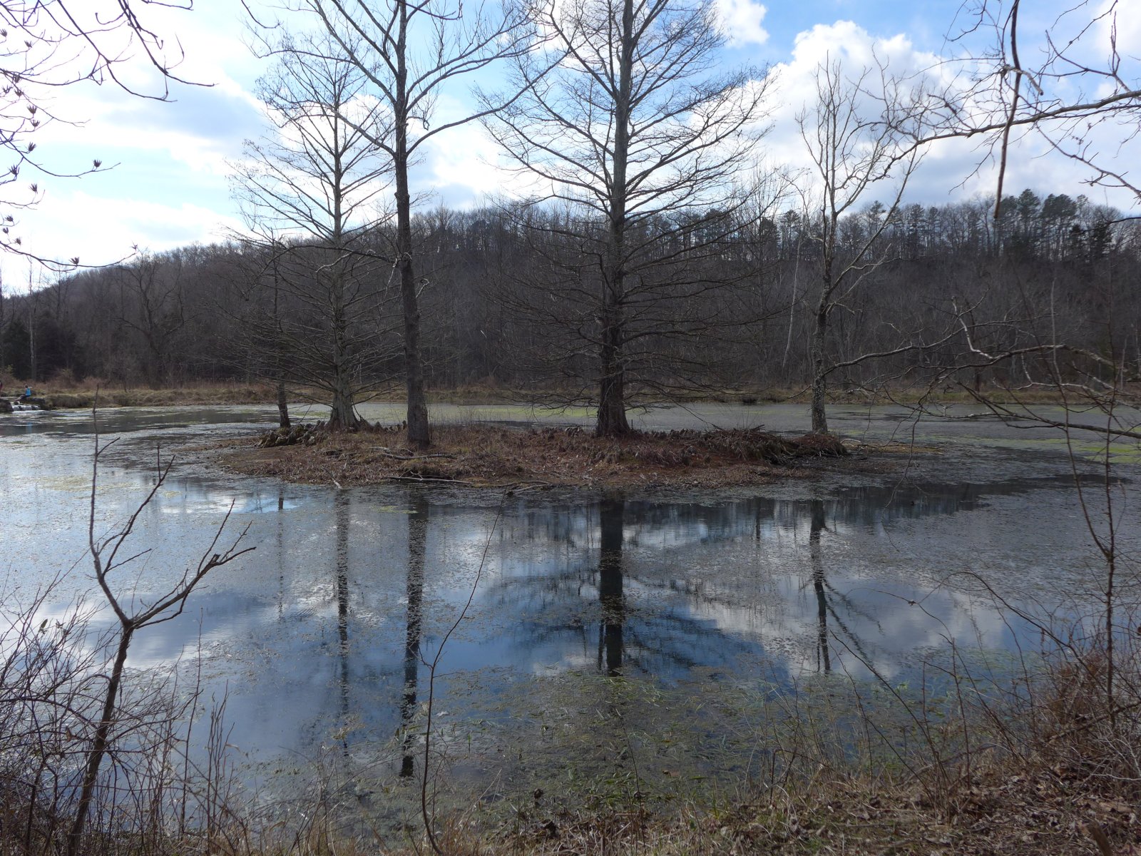
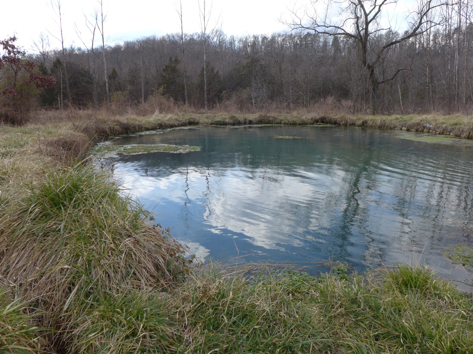
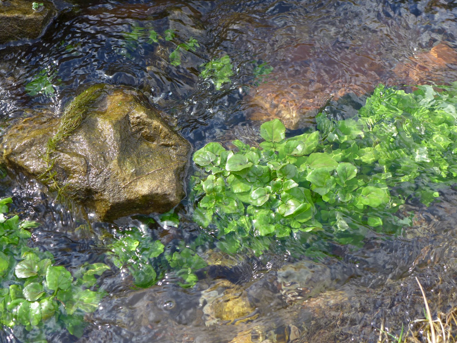
this is Deer Track Trail which leads down to DeWitt pond and Wilkins Spring. For the way back up, follow the Southern branch of the Deer Track Trail past another
small pond and through a forest of tall pines.