Lake of the Ozarks State Park
How to get there from Rolla
Park Map
Hiking information and maps
Lake of the Ozarks State Parks is the largest state park in Missouri. Besides boating, there are 12 trails with a total length of 35 miles for hiking, biking and horseback riding. The park has several access points which are miles apart; be sure to choose the right approach for your trail.
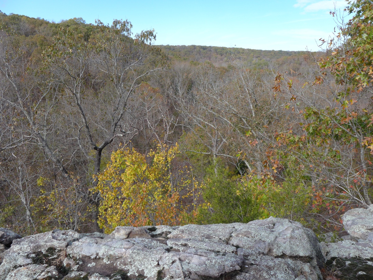
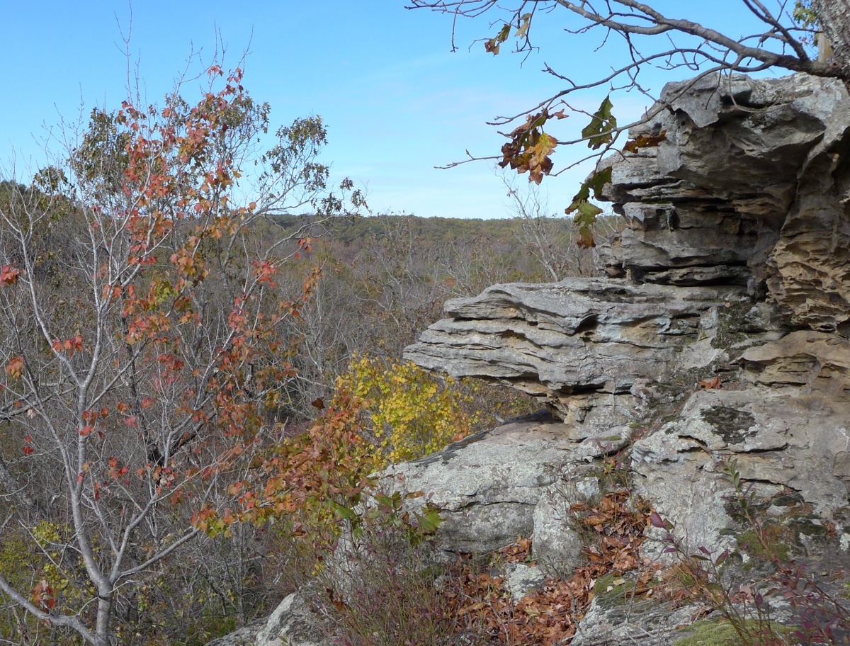
Trail of the Four Winds (13 miles) and Honeyrun Trail (12.5 miles) are the longest trails in the park. Trail of the Four Winds can be broken up into two loops with connector trails. The pictures below are from the overlook that is marked on the trail map .
Honey Run Trail consists of three separate sections: South Loop (2.5 mi), North Loop (4.5 mi) and Upland Forest Trail (3 mi one way). North Loop offers a few glimpses of the lake.
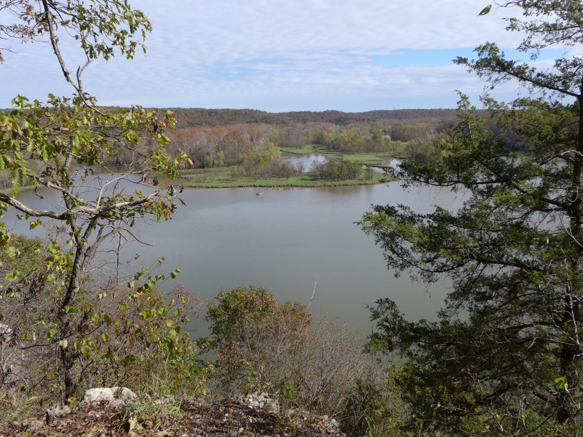
Hidden Springs Trail (2.5 miles) leads to bluffs above the lake (left), and Lake View Bend Trail (1.5 miles) follows the shoreline (right)
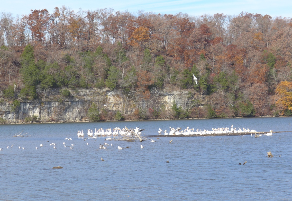
Rocky Top trail (2 miles) is very scenic, with great views of the lake. The short Coakley Hollow trail (1 mi) is close to Ozark Caverns cave. Cave tours are available between May and September. On our last visit in October, the access road was closed off, and one could not reach the cave or trail.