Indian Creek
Buffalo National River Region - Arkansas
How to get there from Rolla
Trail map
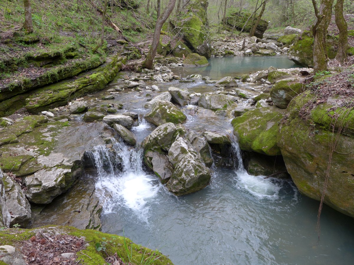
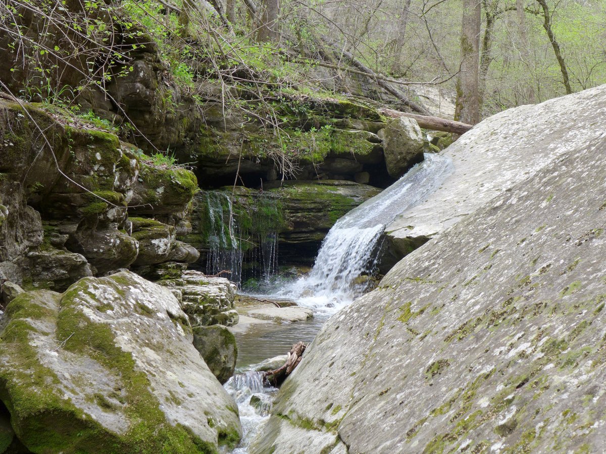
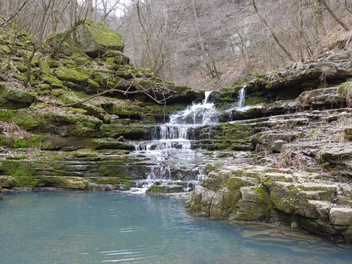
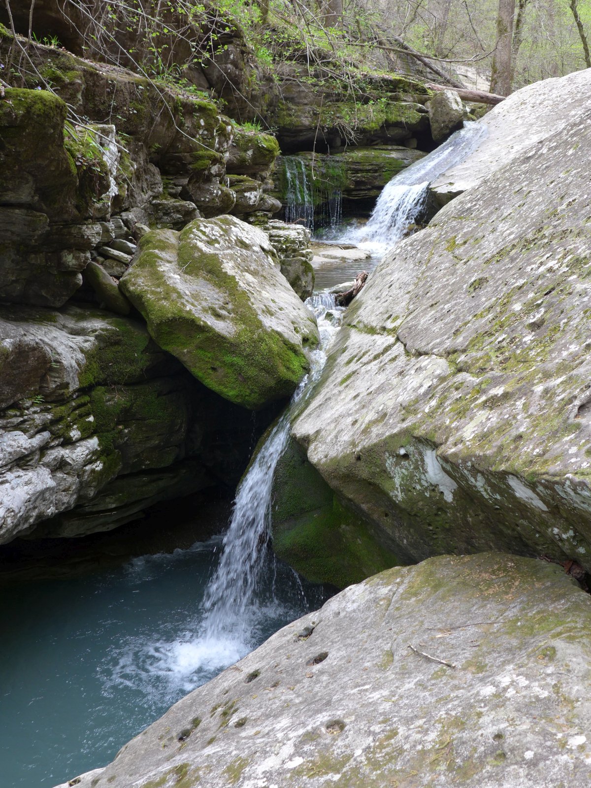
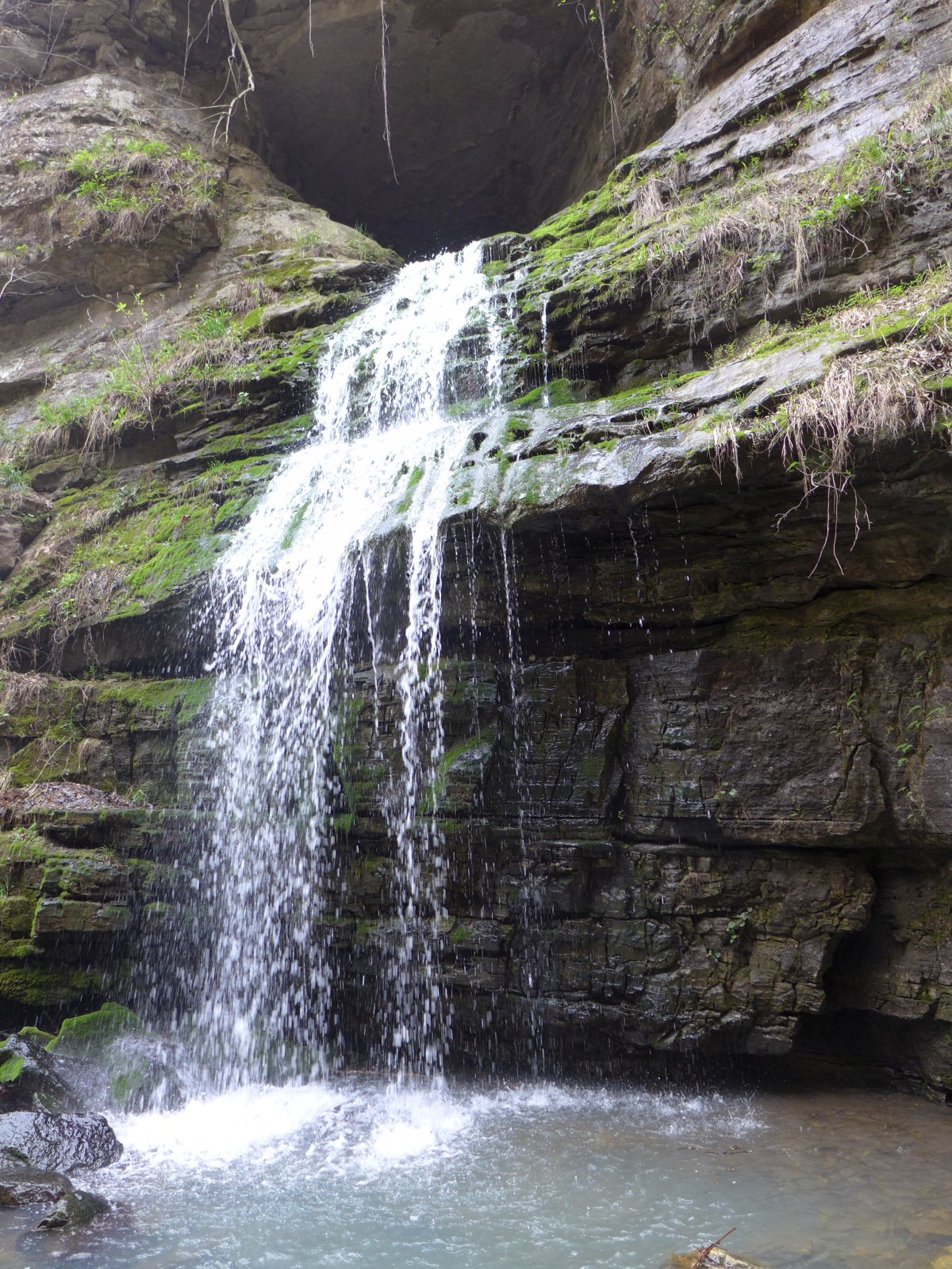
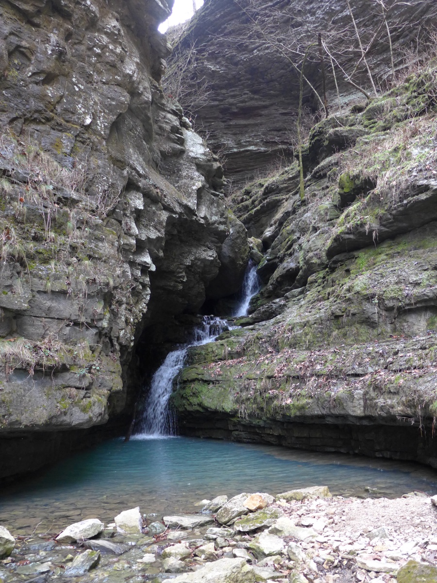
5.4 mile in-and-out, following the creek bed. Lots of waterfalls. Near the end, Tunnel Cave Falls
emerges out of the mouth of Arkansas Cave high up in the rock wall.
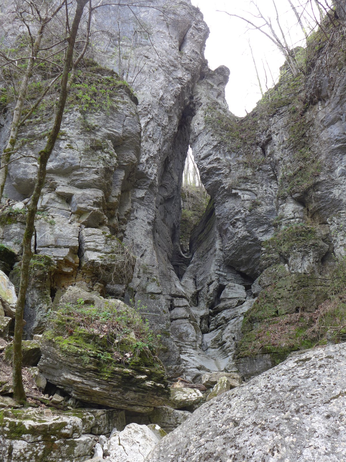
After that, steep scrambling leads to the rock formation Eye of the Needle.
Trail is not maintained and very exposed in some places. Watch for slippery rocks.