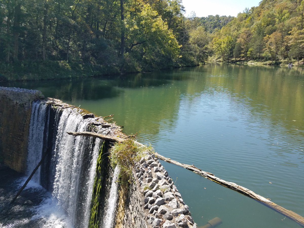
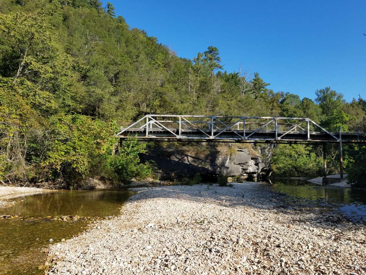
Sylamore Creek
Ozark Highlands Region - Arkansas
Area Information
How to get there from Rolla
Topo maps
This 23-mile trail follows North Sylamore Creek from Allison, through Blanchard and Gunner Pool, to Barkshed Recreation Area and extends to Cripple Turkey Road where it meets the Ozark Highlands Trail. It is a linear trail that does not form a loop. It makes a great backpack, but is also perfect for day hikes, since trailheads are located about 5 miles apart.